See photos (4)

GR®54 - Tour of L'Oisans and Les Écrins starting from La Chapelle-en-Valgaudemar

in La Chapelle-en-Valgaudémar
320.8 km
One-way
Walking/pedestrian
12d
Hard
  • Here, the variants of the GR®54 are complemented by the Tour of L'Oisans and Les Écrins from La Chapelle-en-Valgaudemar, for further exploration of the iconic landscapes of Les Écrins.

  • Embarking on one of the most difficult GR® routes in France, a challenge for experienced hikers. On the route: 14 passes, elevation changes of almost 12,000 metres and 190 kilometres to cover in 12 days in the majestic Massif des Écrins. Leave the beaten path behind and enjoy a variety of breathtaking landscapes along variants of the GR®54, over three Stages of the circuit.
  • Tips
    The best period for undertaking this tour is from late June to mid-September.
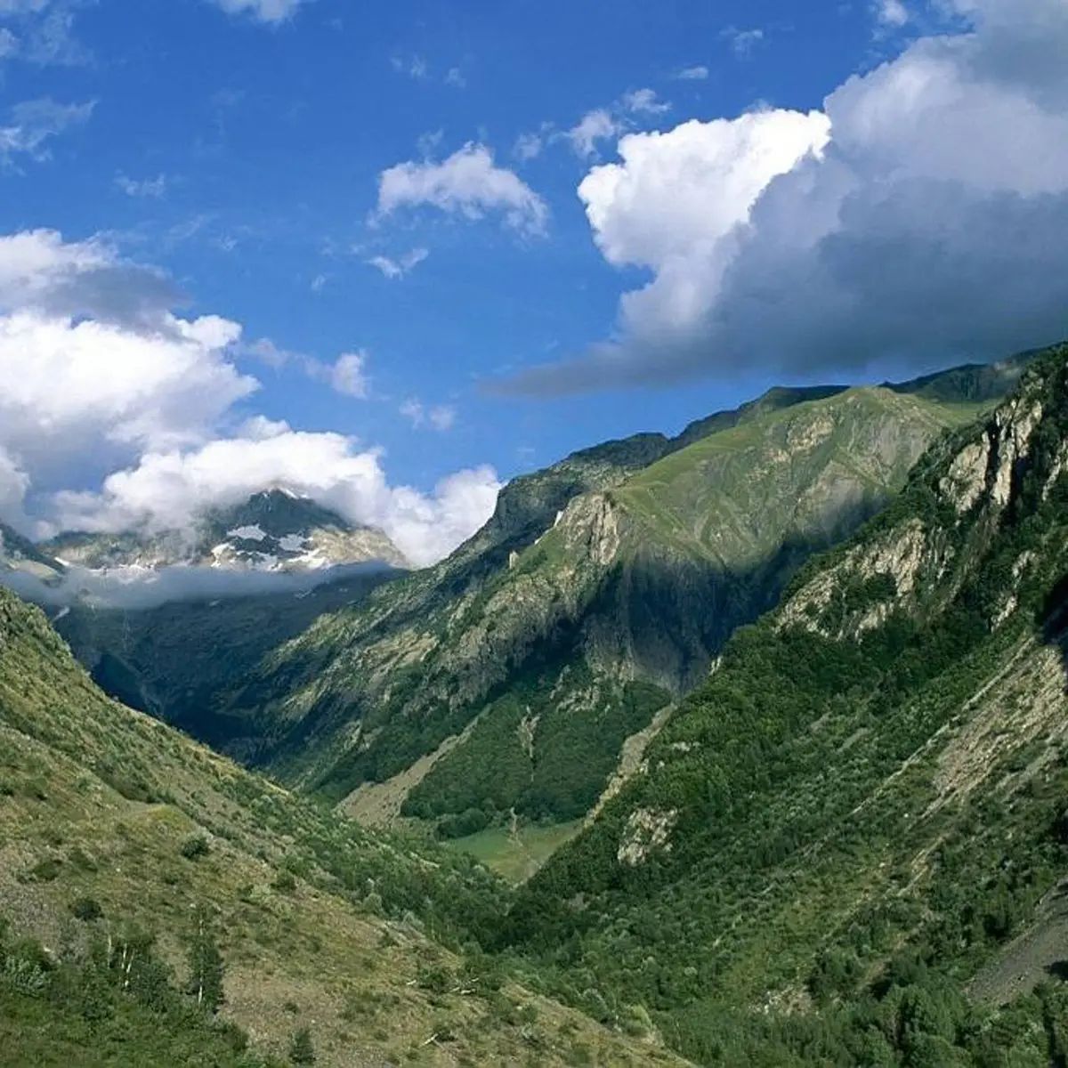
    Find out about weather and snow conditions on the passes in early summer.
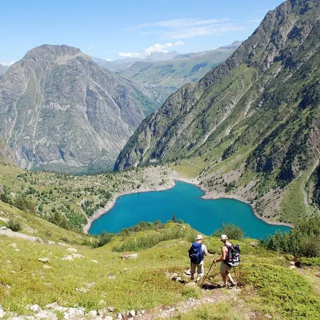
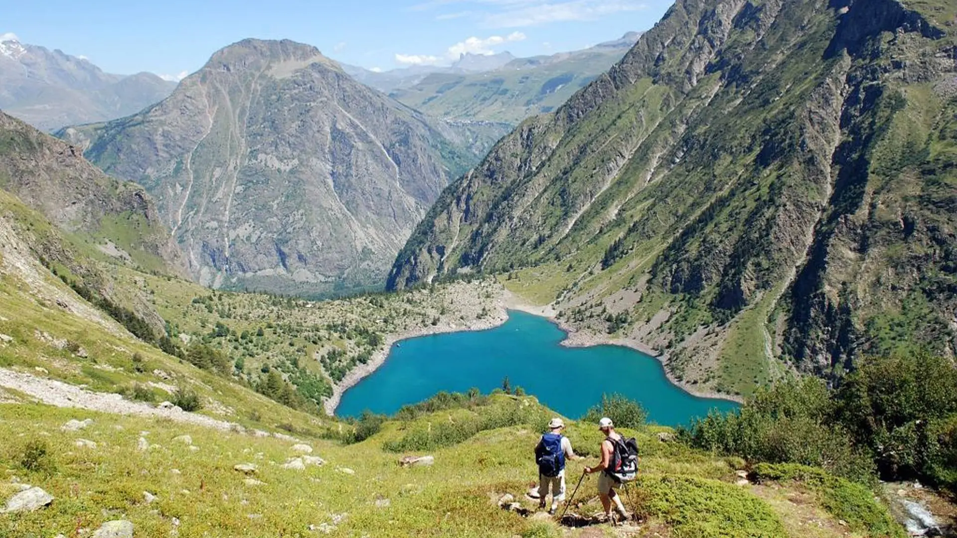
    Some stretches, in the upper reaches of the mountains, pass through tricky terrain.
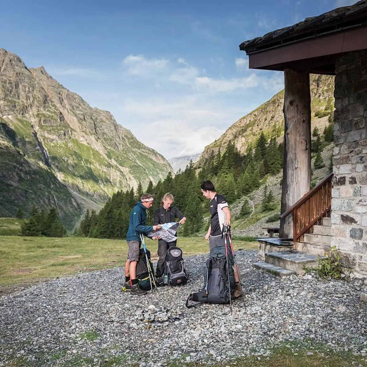
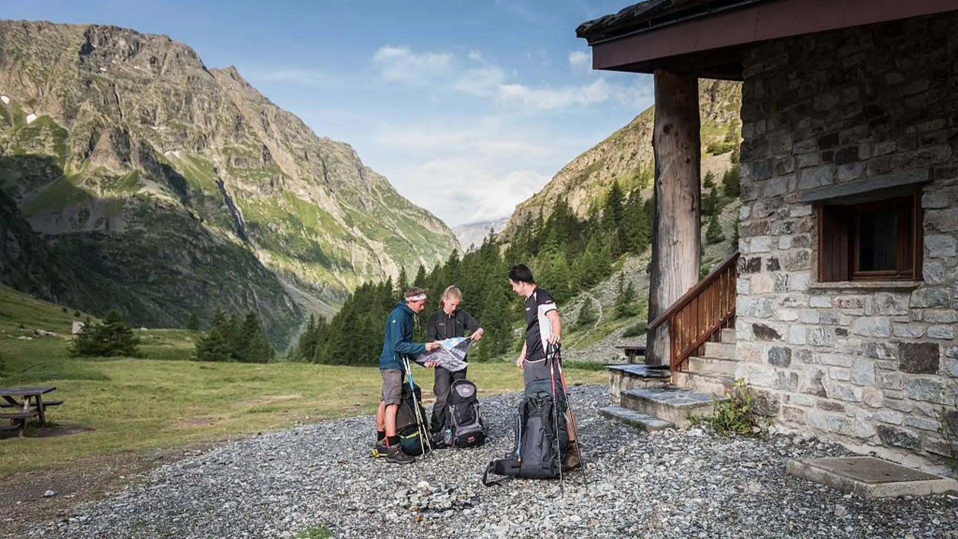
    It is possible to bivouac along the GR route (see the regulations for the heart of the National Park) or to overnight at campsites, hotels, gîtes or refuges.
    The Stages require that you carry your own food.

    Is in the midst of the park : The national park is an unrestricted natural area but subjected to regulations which must be known by all visitors.
    Herd protection dogs : In mountain pastures, protection dogs are there to protect the herds from predators (wolves, etc.).When I hike I adapt my behavior by going around the herd and pausing for the dog to identify me.Find out more about the actions to adopt with the article "Protection dogs: a context and actions to adopt".Tell us about your meeting by answering this survey.
  • Departure
    La Chapelle-en-Valgaudémar
  • Difference in height
    20879.6 m
  • Departure : The Park Centre ("Maison du Parc") in La Chapelle-en-Valgaudemar.
    Road access : On the N85, after the Les Richards bridge, turn right onto the D985a (towards Saint Firmin). La Chapelle is approximately 18 km from this crossroads..
    Parking recommended : Leaving the village of La Chapelle .
    Public transport : From Gap and Grenoble:
    Bus line Gap-Grenoble, Saint-Firmin bus stop : https://www.itinisere.fr/ or https://carsisere.auvergnerhonealpes.fr/
    From here, possibility of taking a summer shuttle to La Chapelle. The shuttle can be booked in advance via the ticket office on the Champsaur Valgaudemar tourist office website: https://www.champsaur-valgaudemar.com/offres/navette-du-valgaudemar-saint-firmin-fr-2301984/m/ .
    .
  • Documentation
    GPX / KML files allow you to export the trail of your hike to your GPS (or other navigation tool)
20880 meters of difference in height
  • Maximum altitude : 2823 m
  • Minimum altitude : 892 m
  • Total positive elevation : 20880 m
  • Total negative elevation : -20871 m
  • Max positive elevation : 1259 m
  • Min positive elevation : -1387 m