
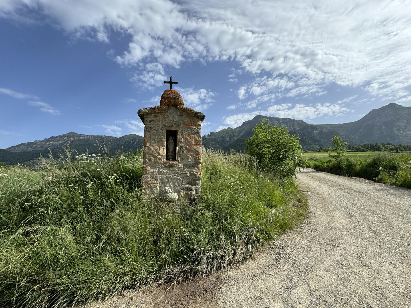

Oratoire Sainte-Anne
in Saint-Michel-de-Chaillol
4.1
km
Loop
Walking/pedestrian
1h 20min
Very easy
- Departure
- Saint-Michel-de-Chaillol
-
-
Difference in height
- 174.073 m
-
-
-
Documentation
- GPX / KML files allow you to export the trail of your hike to your GPS (or other navigation tool)
-
- 174 meters of difference in height
-
- Maximum altitude : 1469 m
- Minimum altitude : 1360 m
- Total positive elevation : 174 m
- Total negative elevation : -174 m
- Max positive elevation : 103 m
- Min positive elevation : -106 m
