Moussuq n°16 depuis St Firmin
in Saint-Firmin
13.7
km
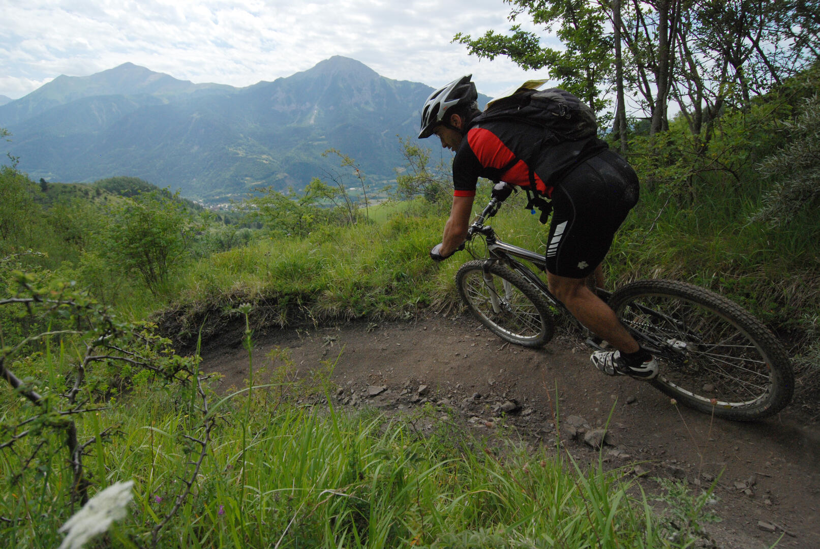
Loop
Mountain biking
1h 30min
Medium
- Departure
- Saint-Firmin
-
-
Difference in height
- 376.667 m
-
-
-
Spoken languages
-
-
-
-
-
Documentation
- GPX / KML files allow you to export the trail of your hike to your GPS (or other navigation tool)
-
- 377 meters of difference in height
-
- Maximum altitude : 1018 m
- Minimum altitude : 843 m
- Total positive elevation : 377 m
- Total negative elevation : -377 m
- Max positive elevation : 81 m
- Min positive elevation : -101 m