 
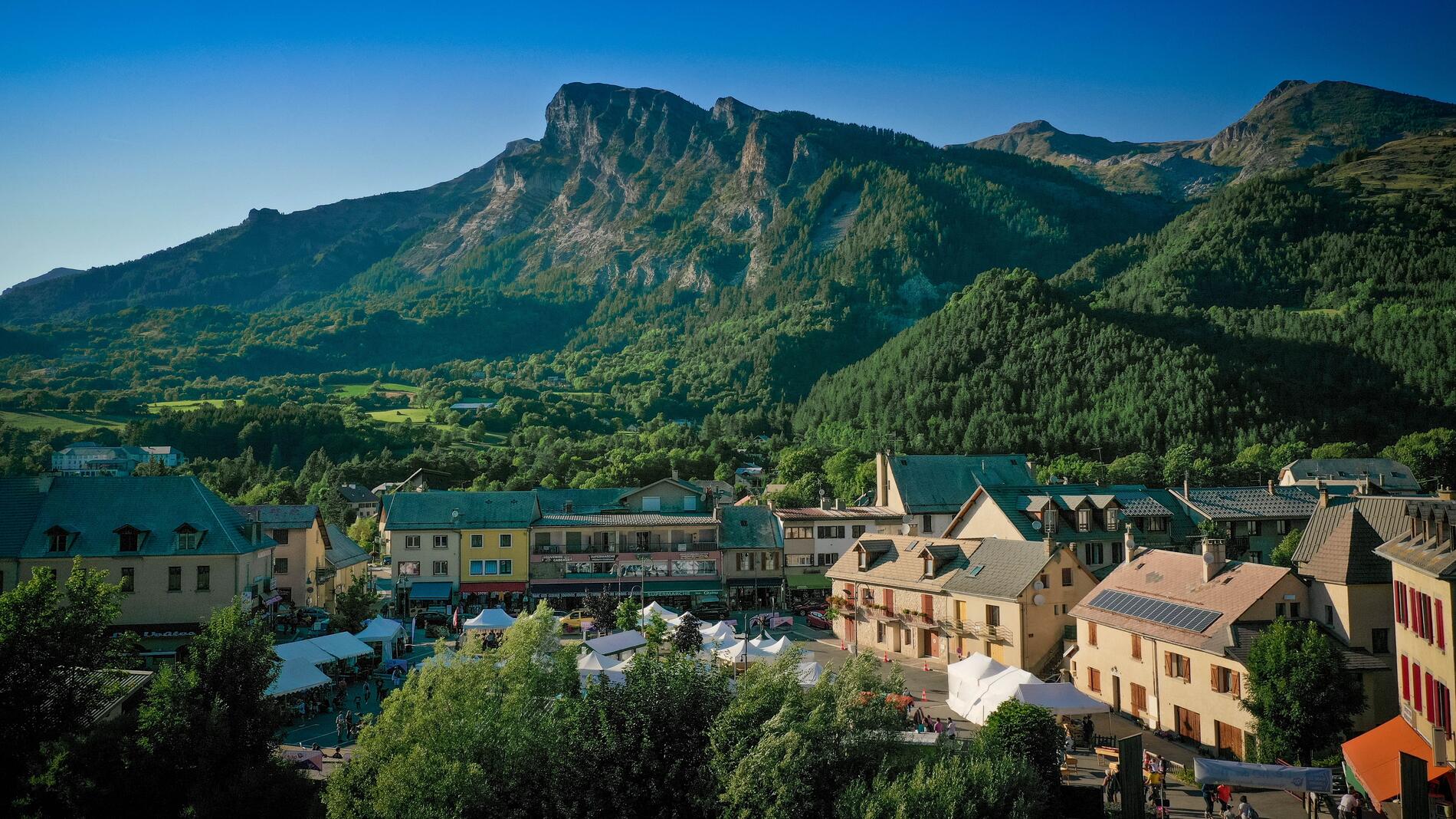
                            Le tour de Frustelle


                                                    in Saint-Jean-Saint-Nicolas
                            
            7.7
                        km
                    
                Loop
                Walking/pedestrian
                3h 
                Medium
                - Departure
- Saint-Jean-Saint-Nicolas
 
- 
    - 
                                Difference in height
- 393.533 m
 
- 
                                
- 
    - 
                                Spoken languages
 
- 
                                
- 
    - 
                                Documentation
- GPX / KML files allow you to export the trail of your hike to your GPS (or other navigation tool)
 
- 
                                
- 394 meters of difference in height
- 
                - Maximum altitude : 1454 m
- Minimum altitude : 1123 m
 - Total positive elevation : 394 m
- Total negative elevation : -394 m
- Max positive elevation : 244 m
- Min positive elevation : -211 m
 
 
                                