Le Saut du Laïre par le Basset
in Orcières
11.3
km
Loop
-
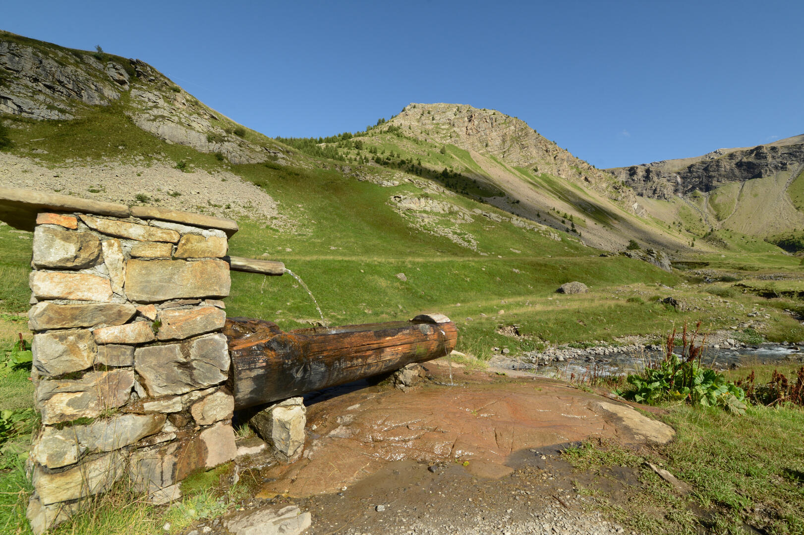
In this very open valley of the Drac Noir, the grassy slopes, hay meadows and pastures are favourite haunts of marmots. Crossing the Basset plateau offers a breathtaking view of the Charnières valley.
- Departure
- Orcières
-
-
Difference in height
- 562.625 m
-
-
-
Environment
-
-
-
Spoken languages
-
-
-
-
-
Documentation
- GPX / KML files allow you to export the trail of your hike to your GPS (or other navigation tool)
-
- 563 meters of difference in height
-
- Maximum altitude : 2055 m
- Minimum altitude : 1537 m
- Total positive elevation : 563 m
- Total negative elevation : -559 m
- Max positive elevation : 168 m
- Min positive elevation : -395 m
Services
-
-
Services
-
