Bois Et Beton 3
Tout part de là
Collecte Déchet 4
Collecte Déchet Champsaur Valgaudemar
Festival De Chaillol Polyphonic System
Activité VTT dans le Champsaur
Plan urbanisme
Bâtiment communauté de communes Champsaur Valgaudemar
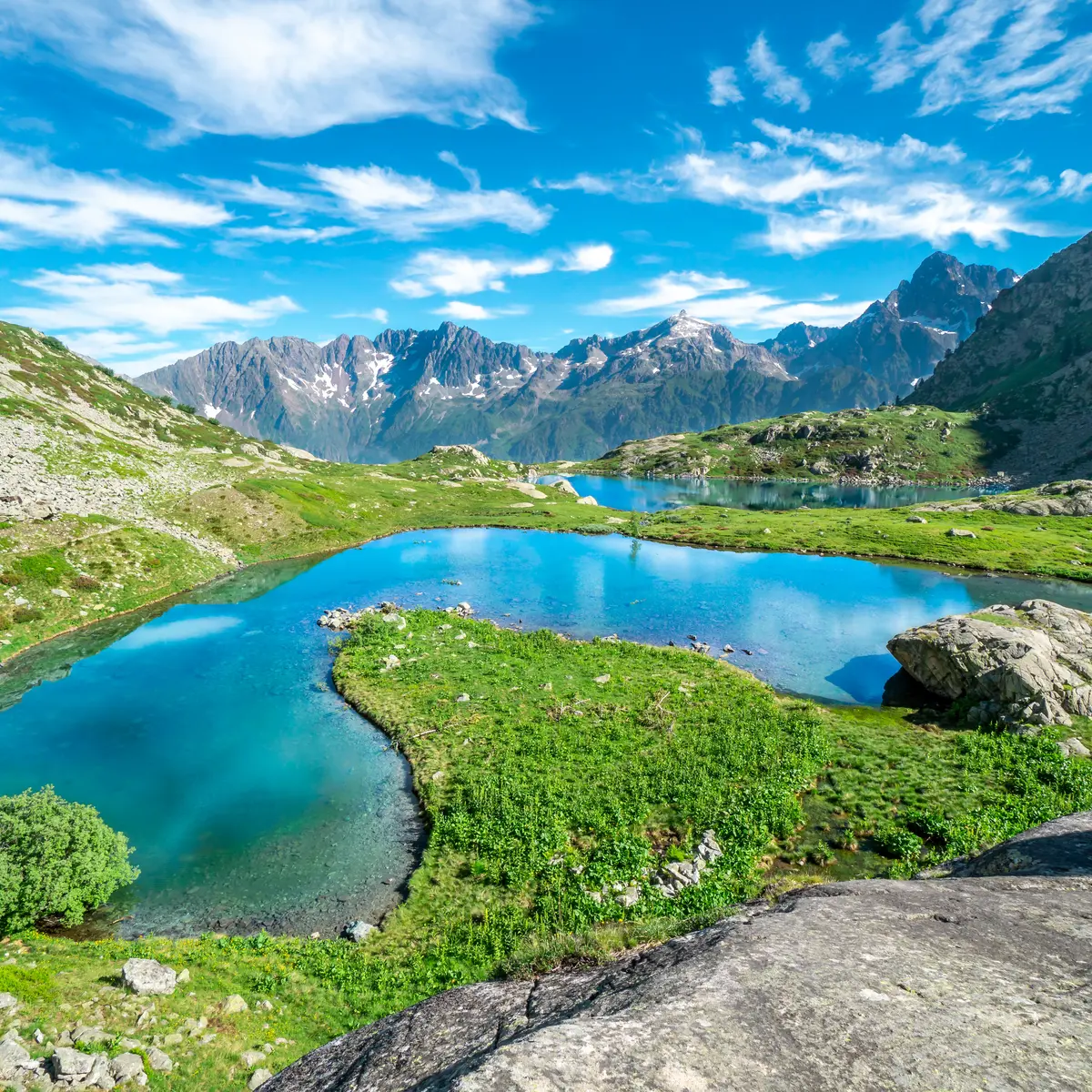
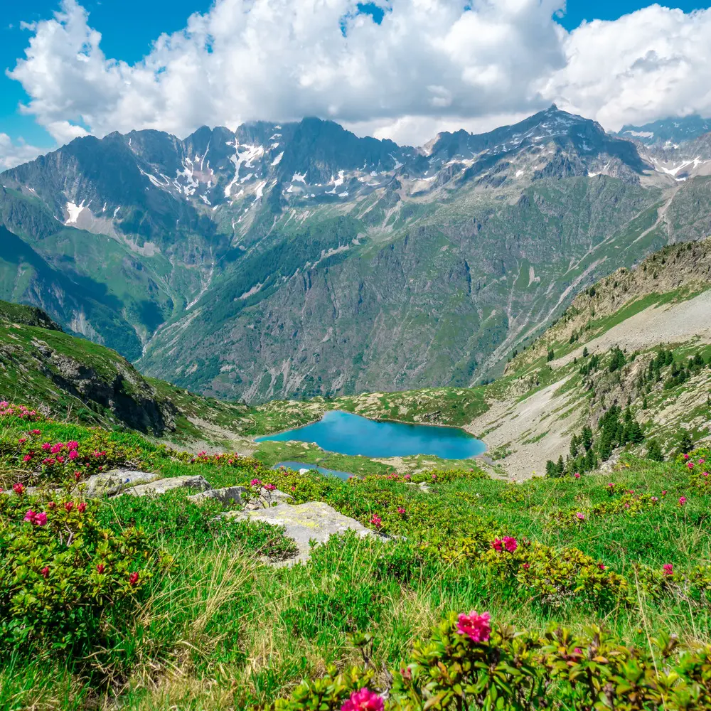
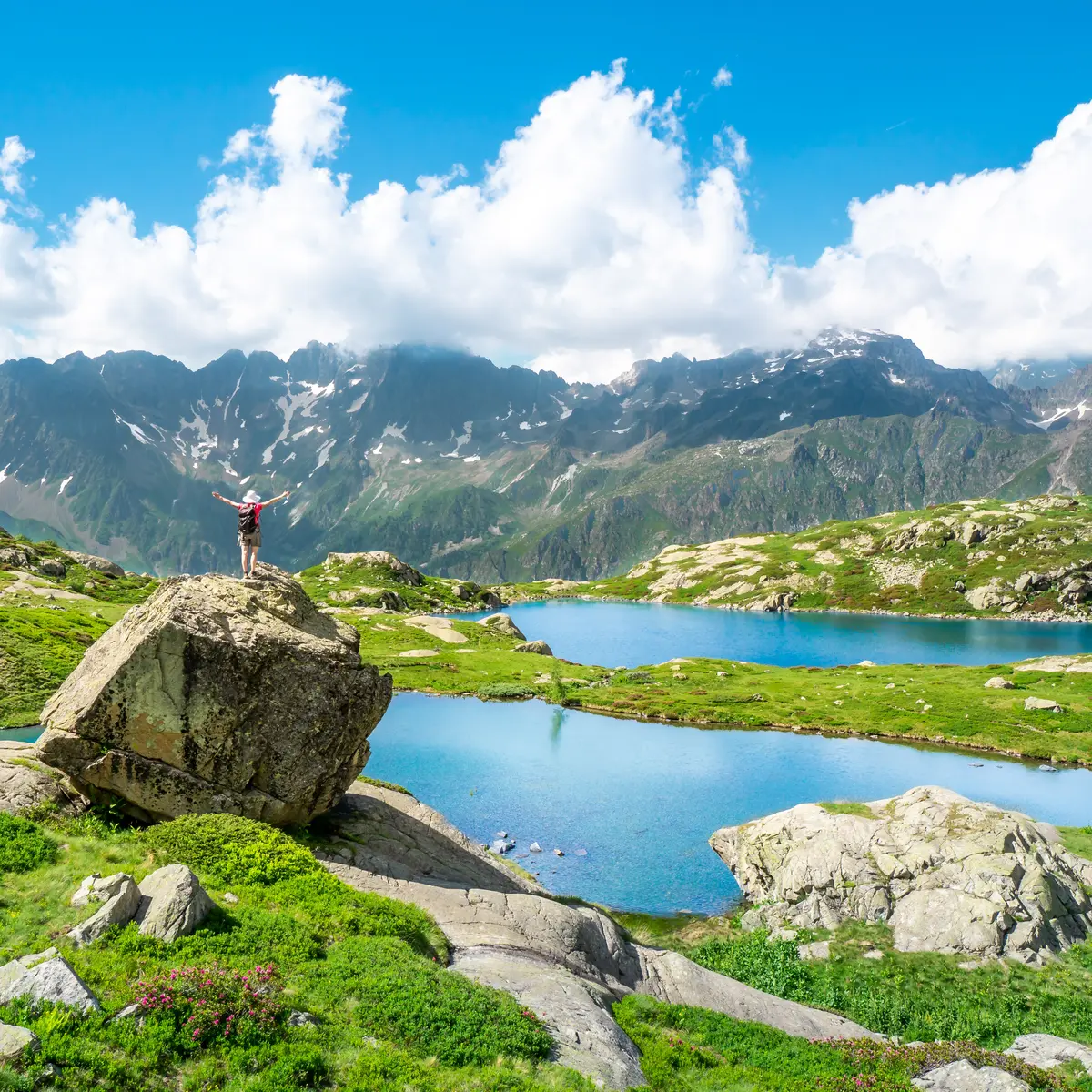
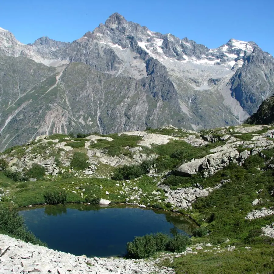
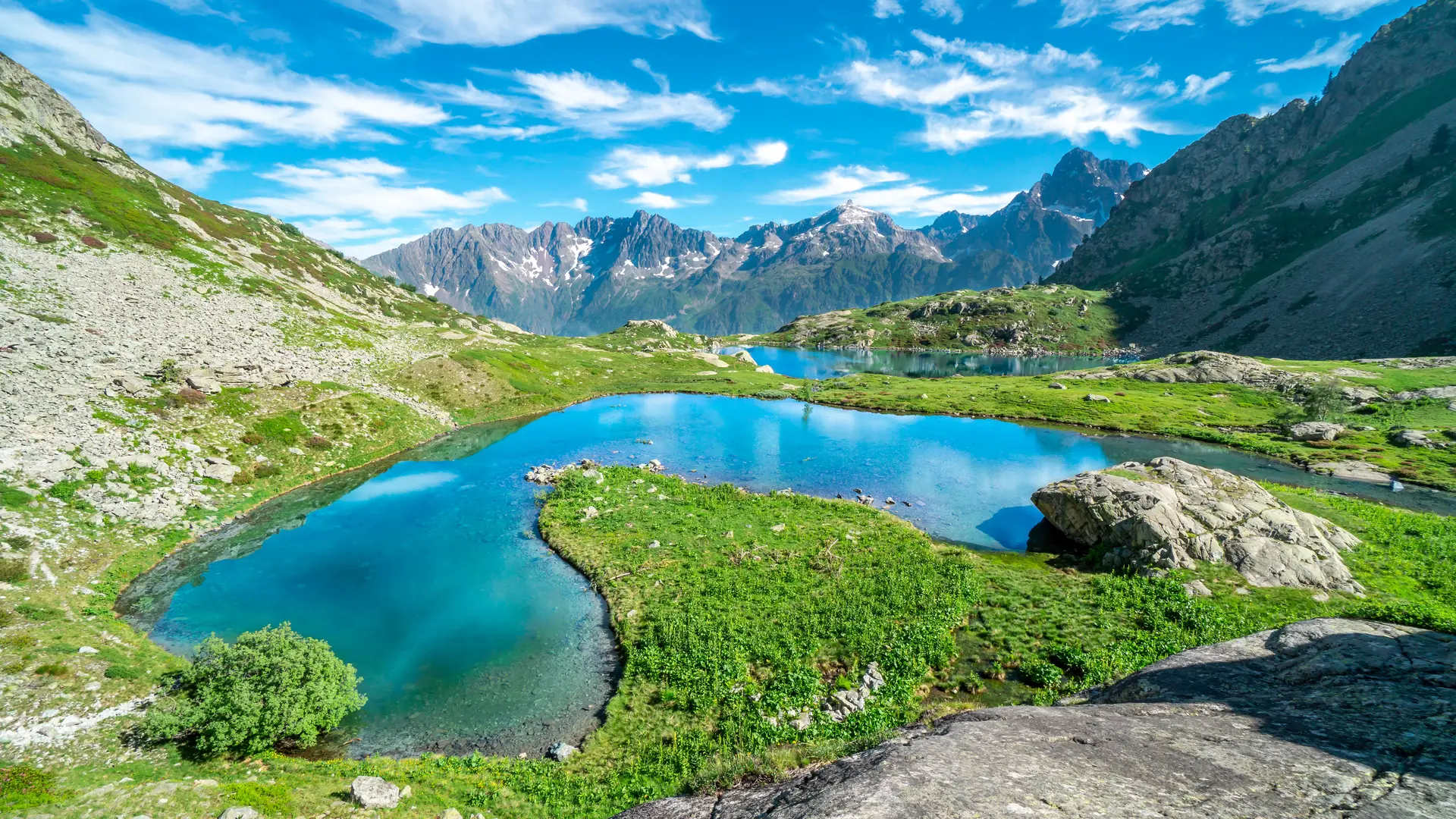
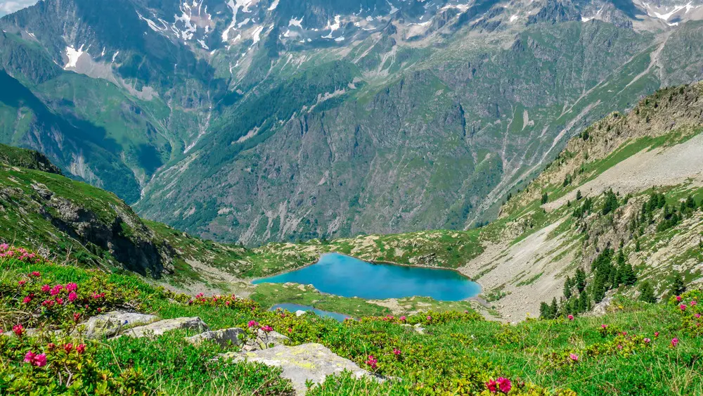
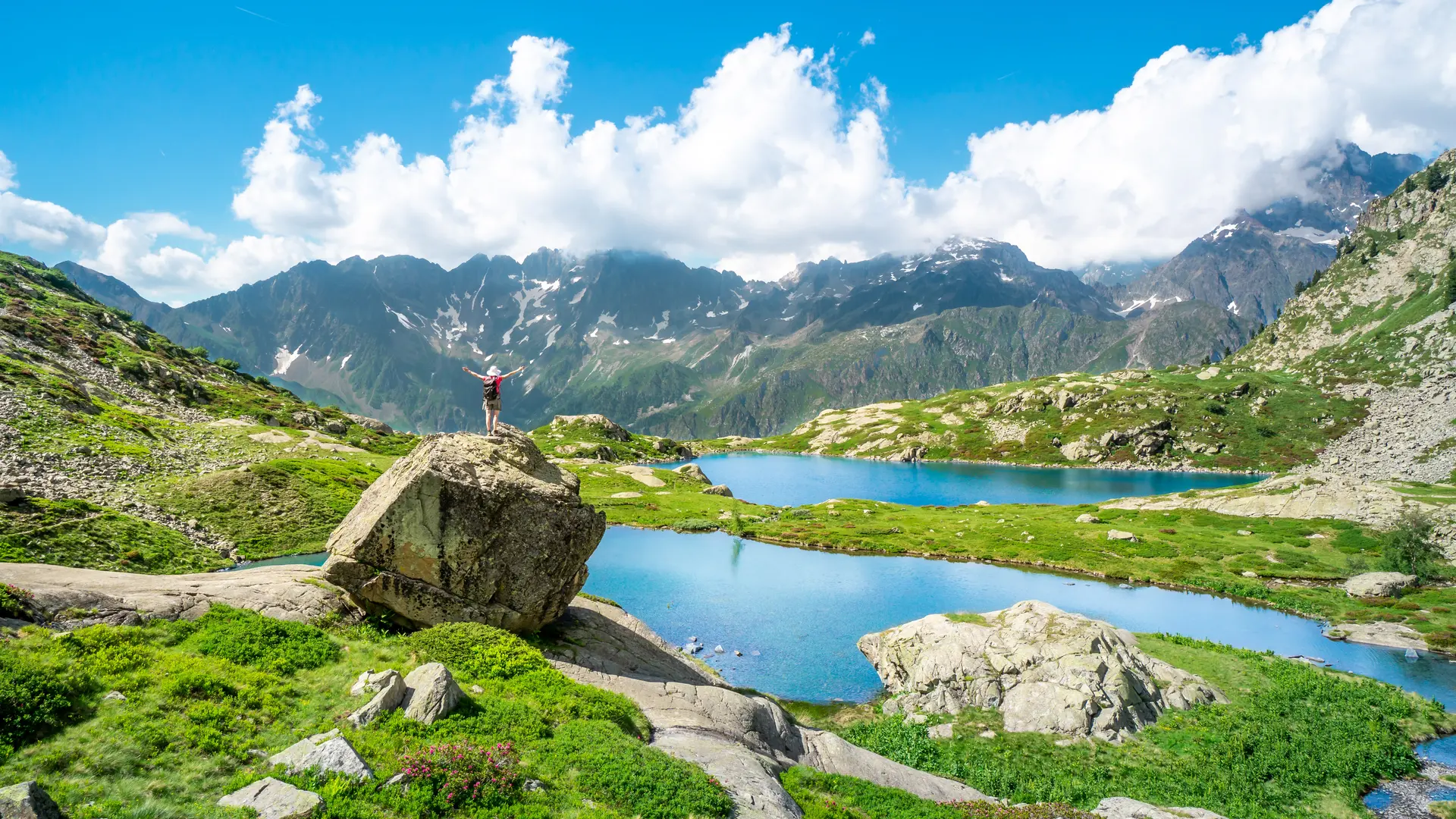
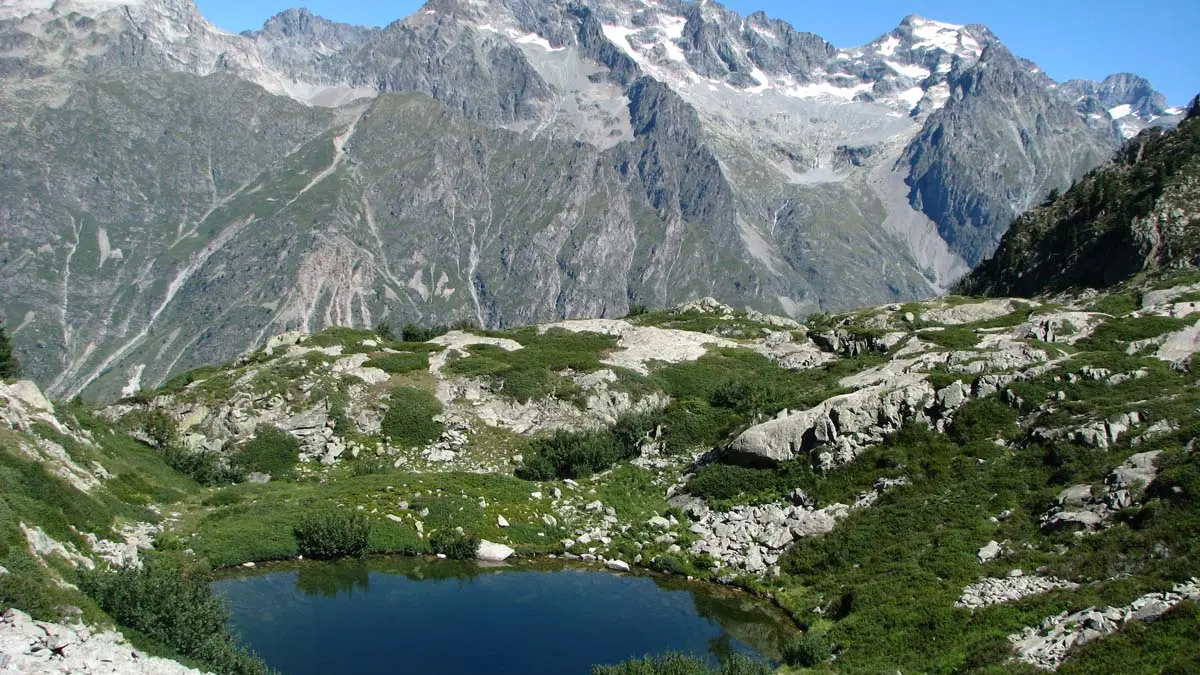
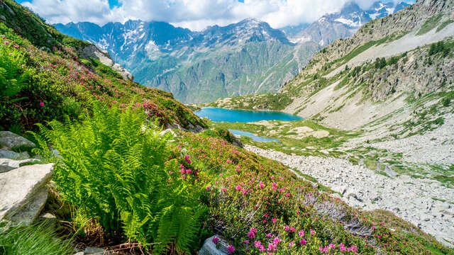
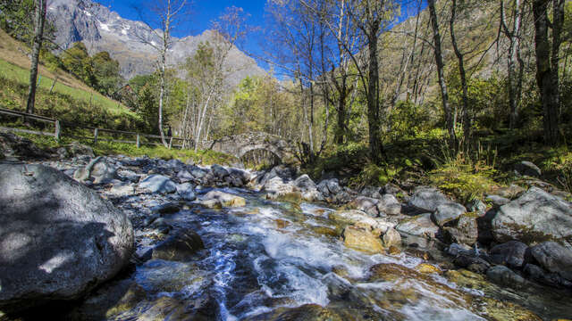
balade en famille dans le Champsaur
Hautes-Alpes (05), Parc national des Ecrins, Vallée du Champsaur, Ancelle, le Collet d'Ancelle, Ferme de Sauron, Laure Marcellin, éleveuse de bovins (Race charolaise) et vente directe de viande bovine et terrines., // Hautes-Alpes (05), Ecrins national park, Champsaur valley, Ancelle, cattle breeder (Charolais breed) and direct sale of beef
Img 20210406 100120 895
Balade à vélo au plan d'eau du Champsaur
Panier de légumes Champsaur Valgaudemar
maison de la photographie Vivian Maier, champsaur valgaudemar
Chalet Hotel du Gioberney
Plage surveillée au plan d'eau du Champsaur
Guillaume Galvani
M. Lourdaux