See photos (3)

From Chabournéou to Vallonpierre on the Minister's footpath

in La Chapelle-en-Valgaudémar
26.0 km
Loop
Walking/pedestrian
5h
Quite difficult
  • Footpaths, odours, summits and a 360° view... This circuit walk first takes you to the Cabournéou refuge, then the Vallonpierre one by the Minister's footpath.

  • "From Le Crépon, the Sirac catches the eye. It is there like an insurmountable barrier that the sun hopelessly tries to straddle. This summit draws us to it. Before heading to brush up against it by walking at its feet, you will be absorbed by the large variety of flora, and carried along by the song of birds from up there. North, South, East, West. This accessible walk covers all directions to ensure delight with every step. "

    Régis Jordana, warden in the Valgaudemar area
  • Tips
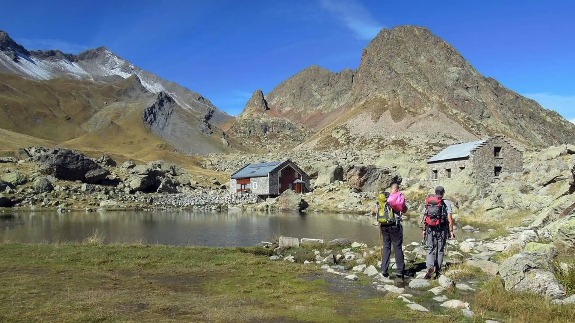
    The last 15 metres or so before reaching the plateau where the Vallonpierre is situated are somewhat high but this is the only difficulty on the walk. NB. It is also possible to do the return walk by continuing along the GR54 up to the old hamlet of Clot and its pastoral hut. You will then need to climb back 80 m up the glacial cross-cliff to easily reach the car park.

    Is in the midst of the park : The national park is an unrestricted natural area but subjected to regulations which must be known by all visitors.
    Herd protection dogs : In mountain pastures, protection dogs are there to protect the herds from predators (wolves, etc.).When I hike I adapt my behavior by going around the herd and pausing for the dog to identify me.Find out more about the actions to adopt with the article "Protection dogs: a context and actions to adopt".Tell us about your meeting by answering this survey.
  • Departure
    La Chapelle-en-Valgaudémar
  • Difference in height
    1988.26 m
  • Departure : Crépon car park, La Chapelle-en-Valgaudemar.
    Road access : 26 km from Saint Firmin, take the D58 and the D958a as far as La Chapelle en Valgaudemar. Then follow the D480a until you reach the Crépon car park, 800 m before the Gioberney refuge..
    Parking recommended : Le Crépon car park .
    Public transport : Shuttle possible from St Firmin (reservation 36 hours in advance through Voyageurs 05) Connection with buses coming from Gap or Grenoble. .
  • Documentation
    GPX / KML files allow you to export the trail of your hike to your GPS (or other navigation tool)
1988 meters of difference in height
  • Maximum altitude : 2631 m
  • Minimum altitude : 1550 m
  • Total positive elevation : 1988 m
  • Total negative elevation : -1870 m
  • Max positive elevation : 997 m
  • Min positive elevation : -616 m