See photos (3)

Font Froide Mountain Pass

in La Motte-en-Champsaur
25.3 km
Round-trip
Walking/pedestrian
7h
Hard
  • From the patrimonial hamlet of Molines this alpine hike lets you to discover the rocky glacier at Font Froide.

  • « One morning in July, leaving the forest, a cold wind came down from the rocky glacier at Font Froide. That is also where the glacial water from the source called Font (fountain) comes from... Decidedly, this mountain pass suits its name. But rapidly, the ascent warms the muscles and the whole body. The mountain pass is in view when a high pitched whistle makes me jump; it is a magnificent male ibex that moves away quietly two paces away from us ».
    Dominique Vincent, park ranger, during an...
    « One morning in July, leaving the forest, a cold wind came down from the rocky glacier at Font Froide. That is also where the glacial water from the source called Font (fountain) comes from... Decidedly, this mountain pass suits its name. But rapidly, the ascent warms the muscles and the whole body. The mountain pass is in view when a high pitched whistle makes me jump; it is a magnificent male ibex that moves away quietly two paces away from us ».
    Dominique Vincent, park ranger, during an ibex count.
  • Tips
    The ibex do not mind being approached but it is better to observe them from further away in order to get the best view and to leave them calmly building up their reserves of fat which are indispensable for them to be able to winter.

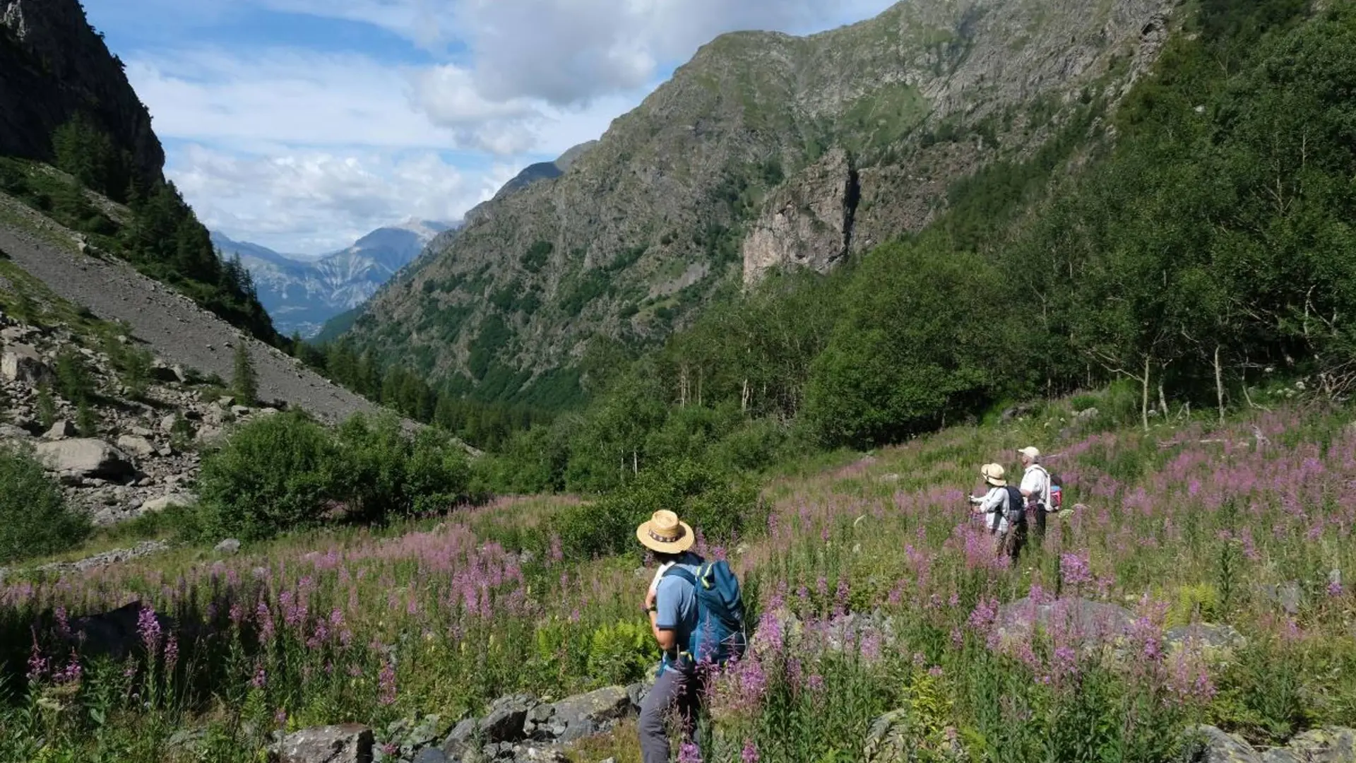
    Is in the midst of the park : The national park is an unrestricted natural area but subjected to regulations which must be known by all visitors.
  • Departure
    La Motte-en-Champsaur
  • Difference in height
    2719.29 m
  • Departure : Molines-en-Champsaur.
    Arrival : Molines-en-Champsaur.
    Road access : At La Fare en Champsaur (N 85), take the direction Saint-Bonnet then the direction La Motte (D23). Cross La Motte and continue until the hamlet of Molines. .
    Parking recommended : Molines car park (in front of the hamlet in summer) .
    Public transport : Between Gap and La Motte-en-Champsaur, there is a possible connection with the Gap-Grenoble coach. .
  • Documentation
    GPX / KML files allow you to export the trail of your hike to your GPS (or other navigation tool)
2719 meters of difference in height
  • Maximum altitude : 2588 m
  • Minimum altitude : 1251 m
  • Total positive elevation : 2719 m
  • Total negative elevation : -2574 m
  • Max positive elevation : 1158 m
  • Min positive elevation : -1218 m