
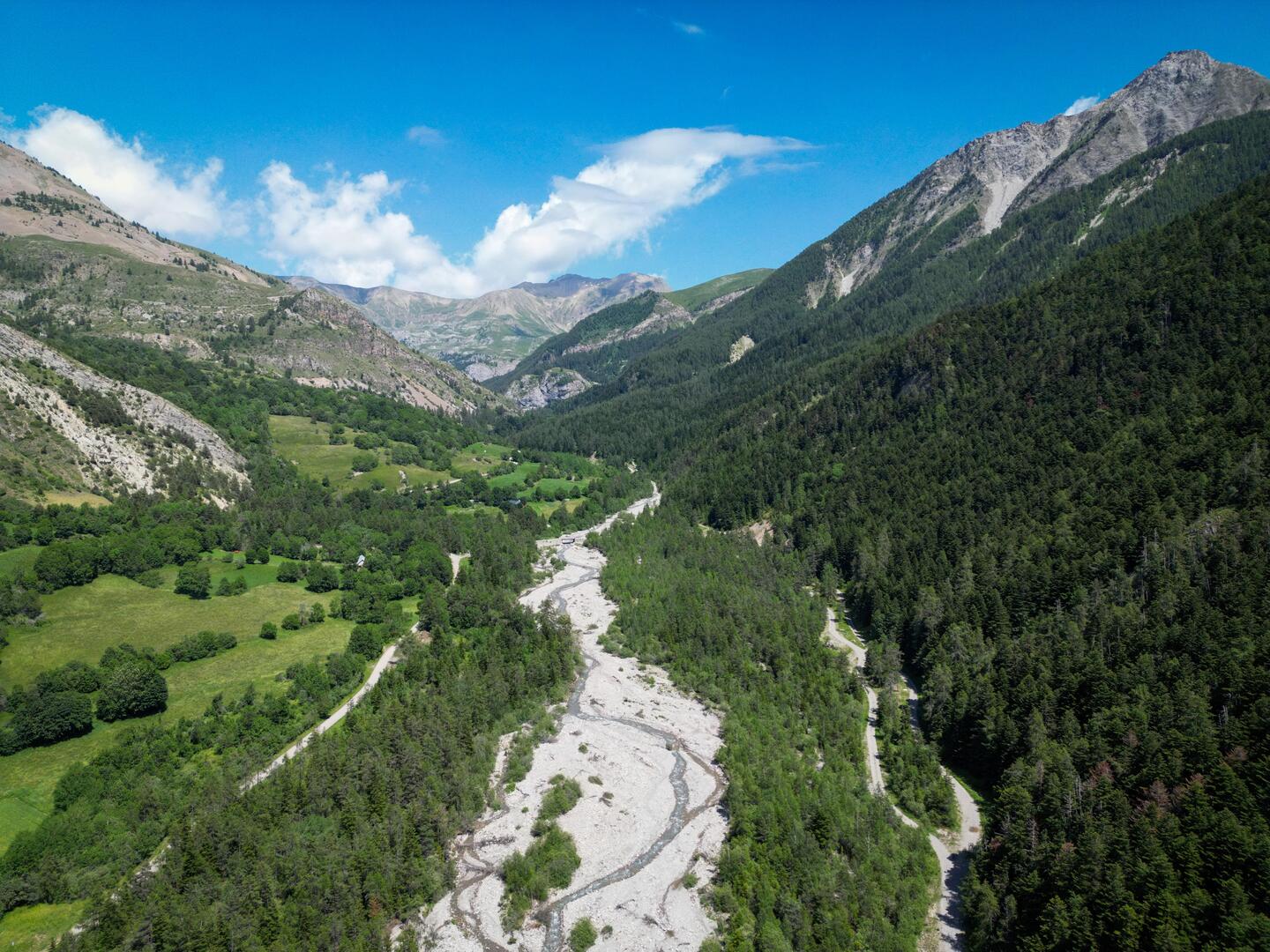
Rouanne basse
in Ancelle
6.3
km
Loop
Walking/pedestrian
2h
Medium
- Departure
- Ancelle
-
-
Difference in height
- 238.335 m
-
-
-
Spoken languages
-
-
-
-
-
Documentation
- GPX / KML files allow you to export the trail of your hike to your GPS (or other navigation tool)
-
- 238 meters of difference in height
-
- Maximum altitude : 1551 m
- Minimum altitude : 1349 m
- Total positive elevation : 238 m
- Total negative elevation : -238 m
- Max positive elevation : 136 m
- Min positive elevation : -91 m
Related to
