Rechercher
en
La Communauté de communes
Les services
Bois Et Beton 3
©
Bois Et Beton 3
Developpement économique
Tout part de là
©
Tout part de là
Environnement
Festival De Chaillol Polyphonic System
©
Festival De Chaillol Polyphonic System
Culture et patrimoine
Activité VTT dans le Champsaur
©
Activité VTT dans le Champsaur
Tourisme, sport et activités de pleine nature
Plan urbanisme
©
Plan urbanisme
Urbanisme
Bâtiment communauté de communes Champsaur Valgaudemar
©
Bâtiment communauté de communes Champsaur Valgaudemar
France services
balade en famille dans le Champsaur
©
balade en famille dans le Champsaur
Enfance / jeunesse
Politiques contractuelles
Tout part de là
©
Tout part de là
Mobilité
©
Hautes-Alpes (05), Parc national des Ecrins, Vallée du Champsaur, Ancelle, le Collet d'Ancelle, Ferme de Sauron, Laure Marcellin, éleveuse de bovins (Race charolaise) et vente directe de viande bovine et terrines., // Hautes-Alpes (05), Ecrins national park, Champsaur valley, Ancelle, cattle breeder (Charolais breed) and direct sale of beef
Agriculture
Les projets en cours
Img 20210406 100120 895
©
Balade à vélo au plan d'eau du Champsaur
Aménagement de la Voie Douce
Panier de légumes Champsaur Valgaudemar
©
Panier de légumes Champsaur Valgaudemar
Projet Alimentaire Territorial
maison de la photographie Vivian Maier, champsaur valgaudemar
©
maison de la photographie Vivian Maier, champsaur valgaudemar
Projet scientifique et culturel
Chalet Hotel du Gioberney
©
Chalet Hotel du Gioberney
Requalification du site du Gioberney
Plage surveillée au plan d'eau du Champsaur
©
Plage surveillée au plan d'eau du Champsaur
Requalification du plan d'eau
Infos pratiques
Back to the list
Call
Plaine et canal
in Chabottes
Download
Difference in height
On the spot
Download
Difference in height
On the spot
Warning: Unsecured hours
22.3
km
Loop
Walking/pedestrian
1h 50min
Medium
Departure
Chabottes
Difference in height
434.839 m
Spoken languages
Documentation
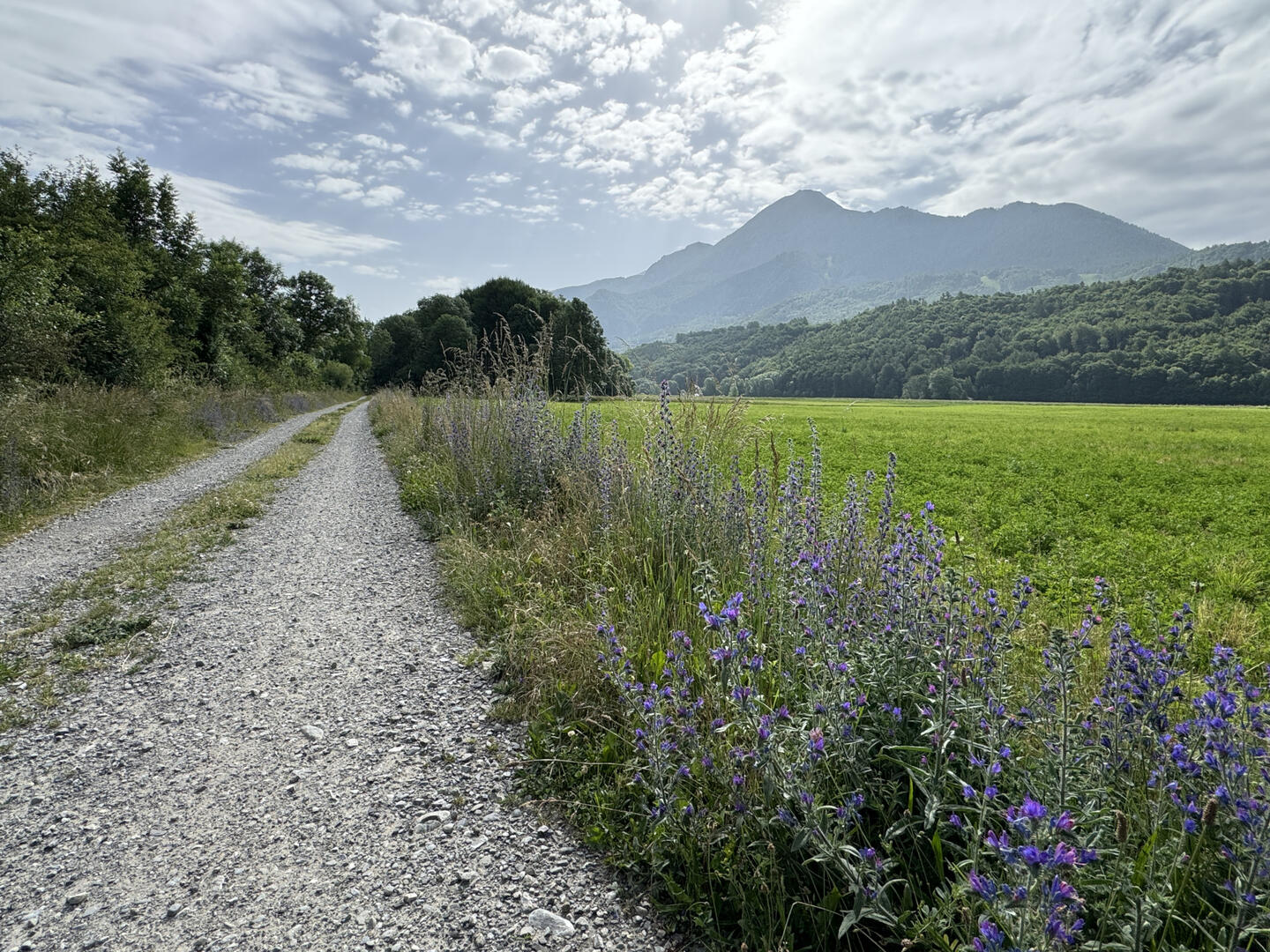
Plaine et canal, Chabottes
Plaine et canal, Chabottes
GPX / KML files allow you to export the trail of your hike to your GPS (or other navigation tool)
435 meters of difference in height
Maximum altitude :
1783 m
Minimum altitude :
1066 m
Total positive elevation :
435 m
Total negative elevation :
-974 m
Max positive elevation :
132 m
Min positive elevation :
-486 m
On the spot
From
1
January
until
31
December
Base de loisirs de Chabottes
Chabottes
×
Sélectionnez les options d'impression …
Imprimer le titre et la description
Imprimer les étapes
Imprimer les points d'intérêts
Imprimer les photos des points d'intérêts
Imprimer le graphique de dénivelé
Imprimer la carte
from
.
€
.
.
.
.
.
.
.
Close
English
Français
Close
×