See photos (3)

Le Saut du Laire via le Basset

in Orcières
17.6 km
Loop
Walking/pedestrian
5h
Quite difficult
  • In this open valley of the Drac Noir, the grassy slopes, hayfields and pastures are a favourite spot for marmots. The walk across the Basset plateau gives an outstanding view of the Charnières valley.

  • "On the Basset plateau, the griffon vultures are feasting on the raw flesh of a dead sheep. They fly away somewhat disappointed as I approach. However, the greediest one has to climb the slope in order to launch itself. Wings spread at last, it sets off on a comical, risky slalom through the rocks that are scattered across the pastures. With the extra kilos that it had gulped down it took quite some time for it to gain altitude!”

    Daniel Briotet, warden in the Champsaur area
  • Tips
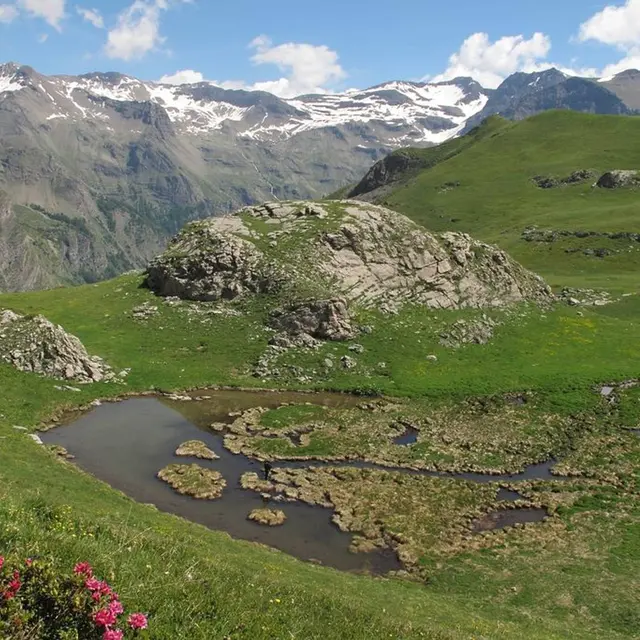
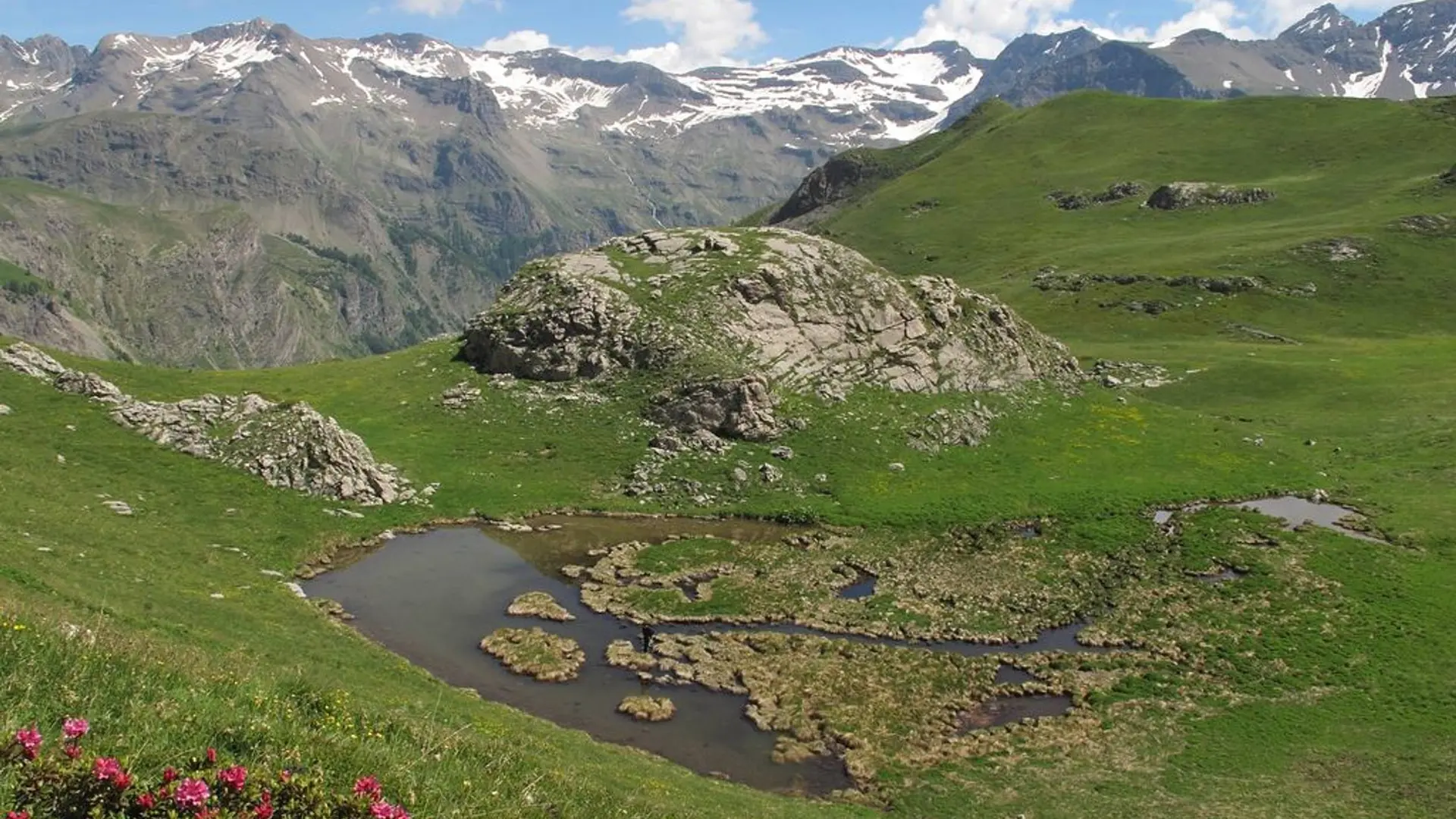
    This route is more enjoyable with an early start. Depending on weather conditions, be careful when crossing the steep slopes beneath the Saulce Chapel and during the descent from the Basset plateau.

    Is in the midst of the park : The national park is an unrestricted natural area but subjected to regulations which must be known by all visitors.
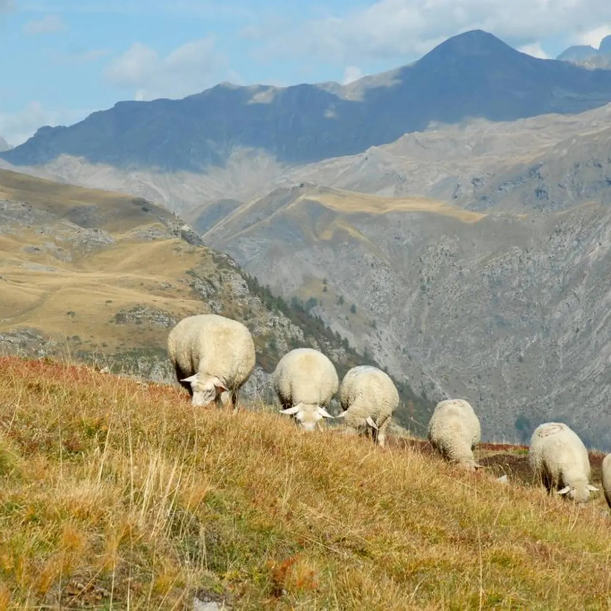
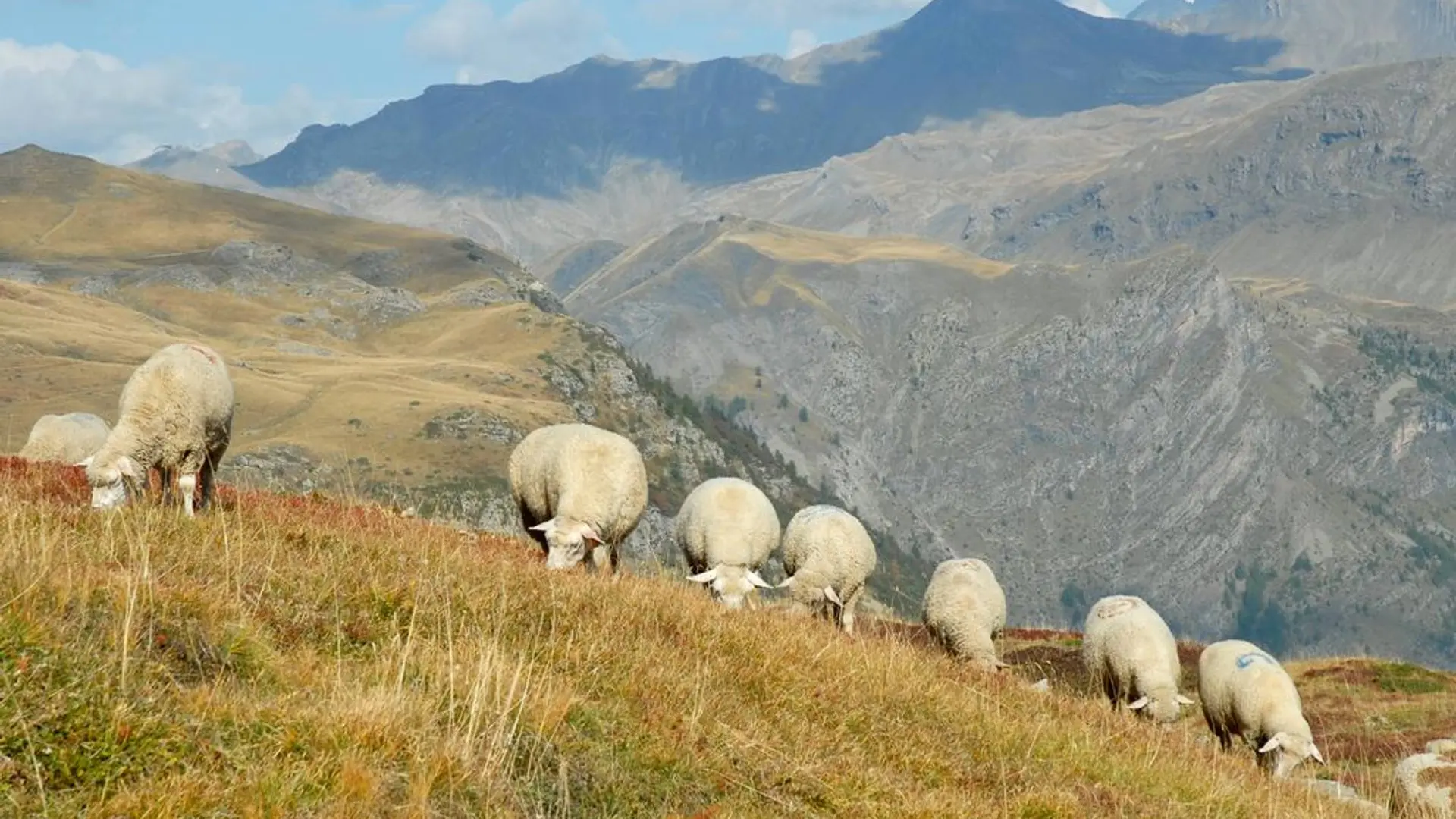
    Herd protection dogs : In mountain pastures, protection dogs are there to protect the herds from predators (wolves, etc.).When I hike I adapt my behavior by going around the herd and pausing for the dog to identify me.Find out more about the actions to adopt with the article "Protection dogs: a context and actions to adopt".Tell us about your meeting by answering this survey.
  • Departure
    Orcières
  • Difference in height
    1032.26 m
  • Departure : Hamlet of Prapic.
    Road access : At the village of Orcières head towards the hamlet of Prapic where the car park is. .
    Parking recommended : Car park at the entrance to the hamlet of Prapic .
    Public transport : Bus route Gap-Orcières (05voyageurs). .
  • Documentation
    GPX / KML files allow you to export the trail of your hike to your GPS (or other navigation tool)
1032 meters of difference in height
  • Maximum altitude : 2055 m
  • Minimum altitude : 1537 m
  • Total positive elevation : 1032 m
  • Total negative elevation : -902 m
  • Max positive elevation : 363 m
  • Min positive elevation : -395 m