img-name-mising

Le Piolit

in Ancelle
16.4 km
Round-trip
Walking/pedestrian
5h
Hard
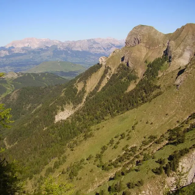
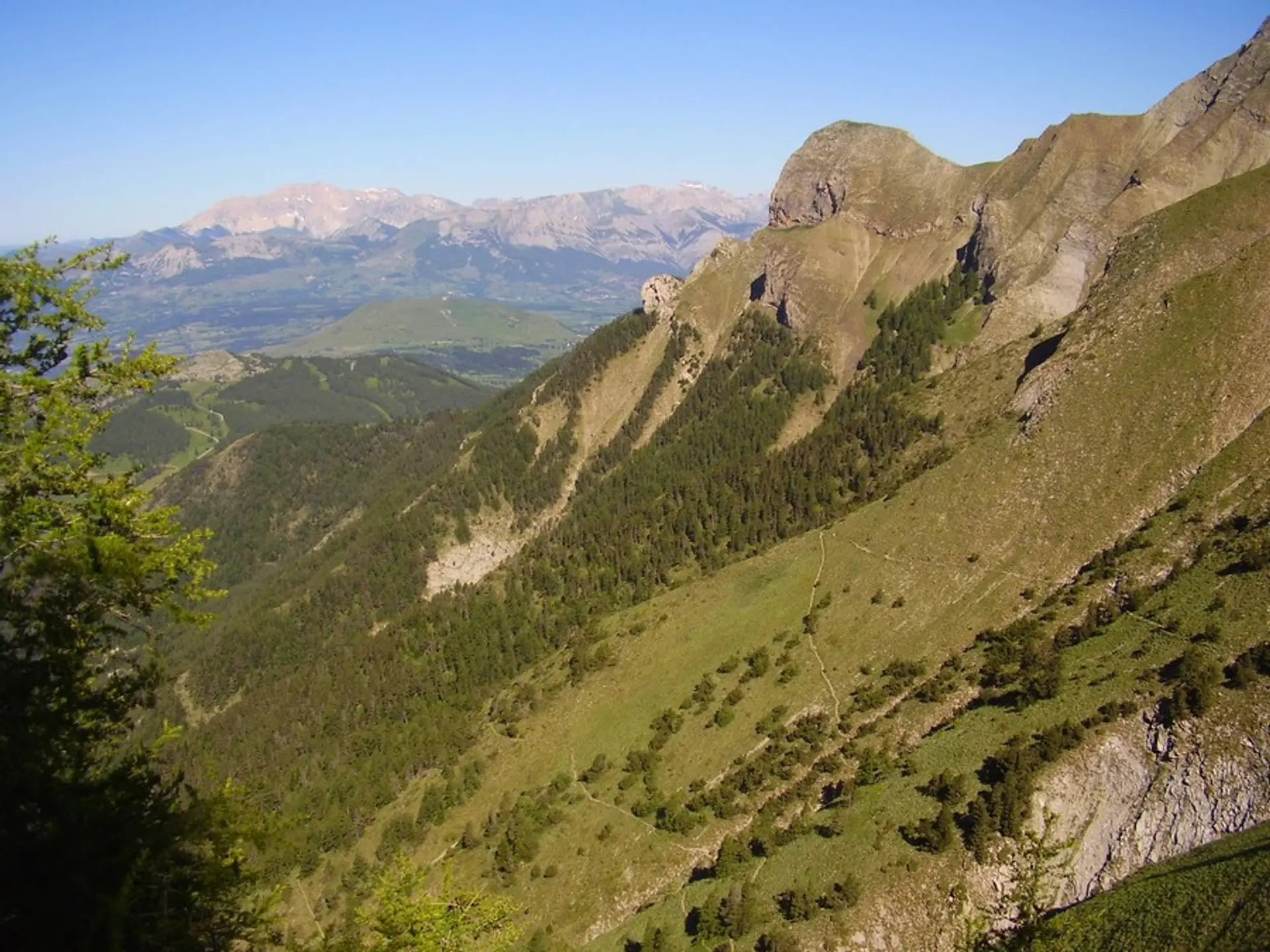
  • An energetic hike on the sunny slopes of Le Piolit.

  • In late spring, the steep slopes are covered in flowers, as well as butterflies and foraging insects of all kinds.
    The finale takes place on a crest and is quite steep, but the reward is a magnificent view from the Gapençais to the Serre-Ponçon lake!
  • Departure
    Ancelle
  • Difference in height
    1272.12 m
  • Departure : Col de Moissière, Ancelle.
    Road access : Ancelle via the RN 85, D114, D514. At the village, take the D213 towards Moissière..
    Parking recommended : Col de Moissière, Ancelle .
  • Documentation
    GPX / KML files allow you to export the trail of your hike to your GPS (or other navigation tool)
1272 meters of difference in height
  • Maximum altitude : 2396 m
  • Minimum altitude : 1464 m
  • Total positive elevation : 1272 m
  • Total negative elevation : -1272 m
  • Max positive elevation : 447 m
  • Min positive elevation : -282 m