La traversée du Queyrelet
in Orcières
7.4
km
Loop
Walking/pedestrian
3h
Medium
-
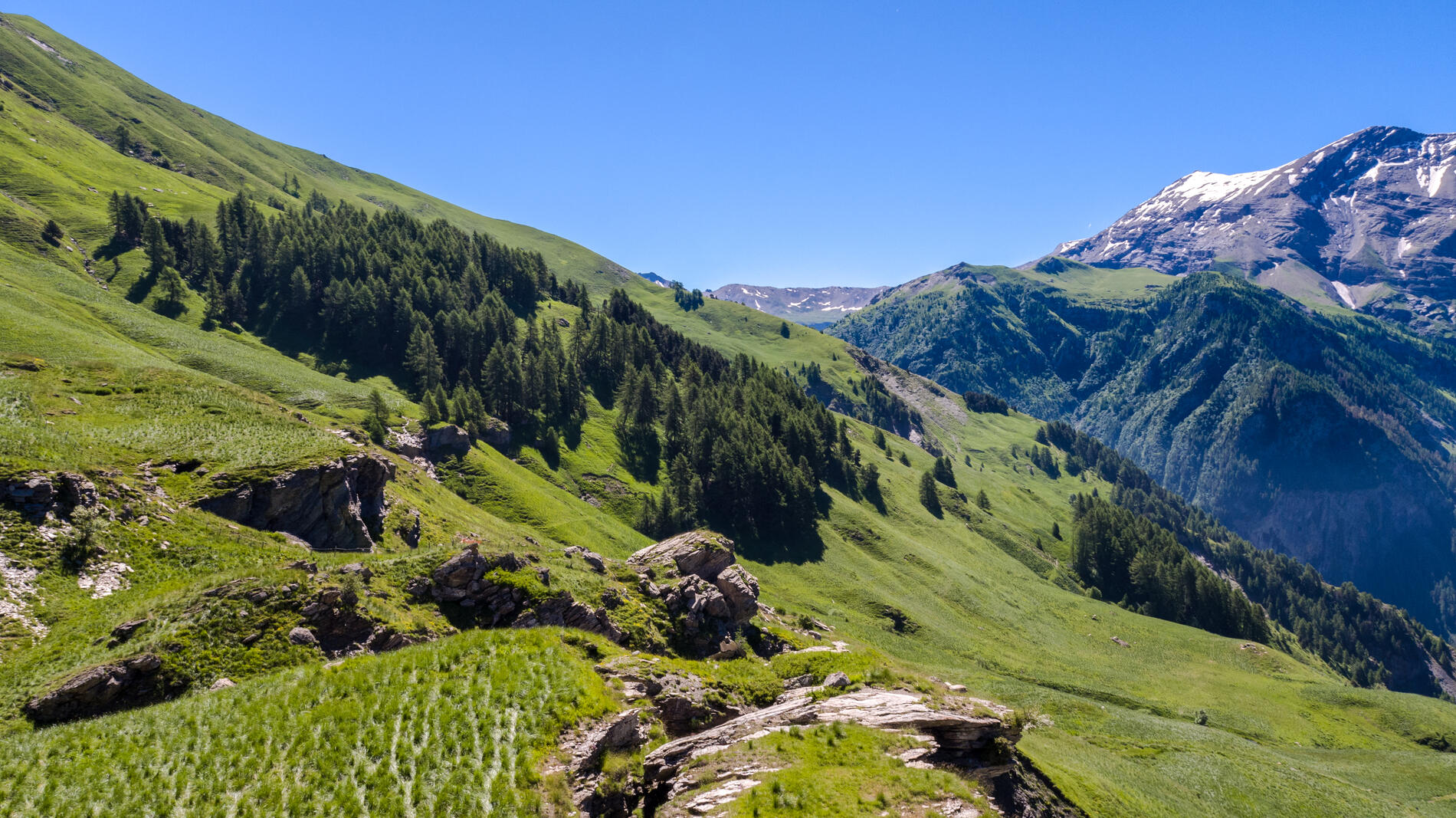
Hike starting from the resort, through the Queyrelet mountain pastures teeming with alpine plants.
Numerous views of the major peaks in the area and the Champsaur valley.
- Departure
- Orcières
-
-
Difference in height
- 426.282 m
-
-
-
Environment
-
-
-
Spoken languages
-
-
-
-
-
Documentation
- GPX / KML files allow you to export the trail of your hike to your GPS (or other navigation tool)
-
- 426 meters of difference in height
-
- Maximum altitude : 2097 m
- Minimum altitude : 1715 m
- Total positive elevation : 426 m
- Total negative elevation : -433 m
- Max positive elevation : 233 m
- Min positive elevation : -309 m
