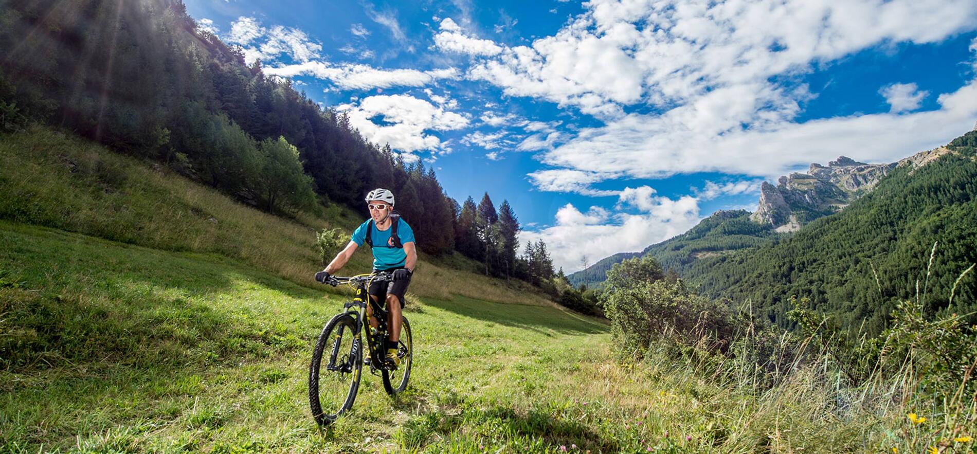
GTHA - Grande Traversée des Hautes-Alpes à VTT (Parcours Grands Cols)
in Ancelle
181.5
km
One-way
Mountain biking
7d
Hard
- 3612 meters of difference in height
-
- Maximum altitude : 2609 m
- Minimum altitude : 651 m
- Total positive elevation : 3612 m
- Total negative elevation : -4810 m
- Max positive elevation : 592 m
- Min positive elevation : -1549 m
