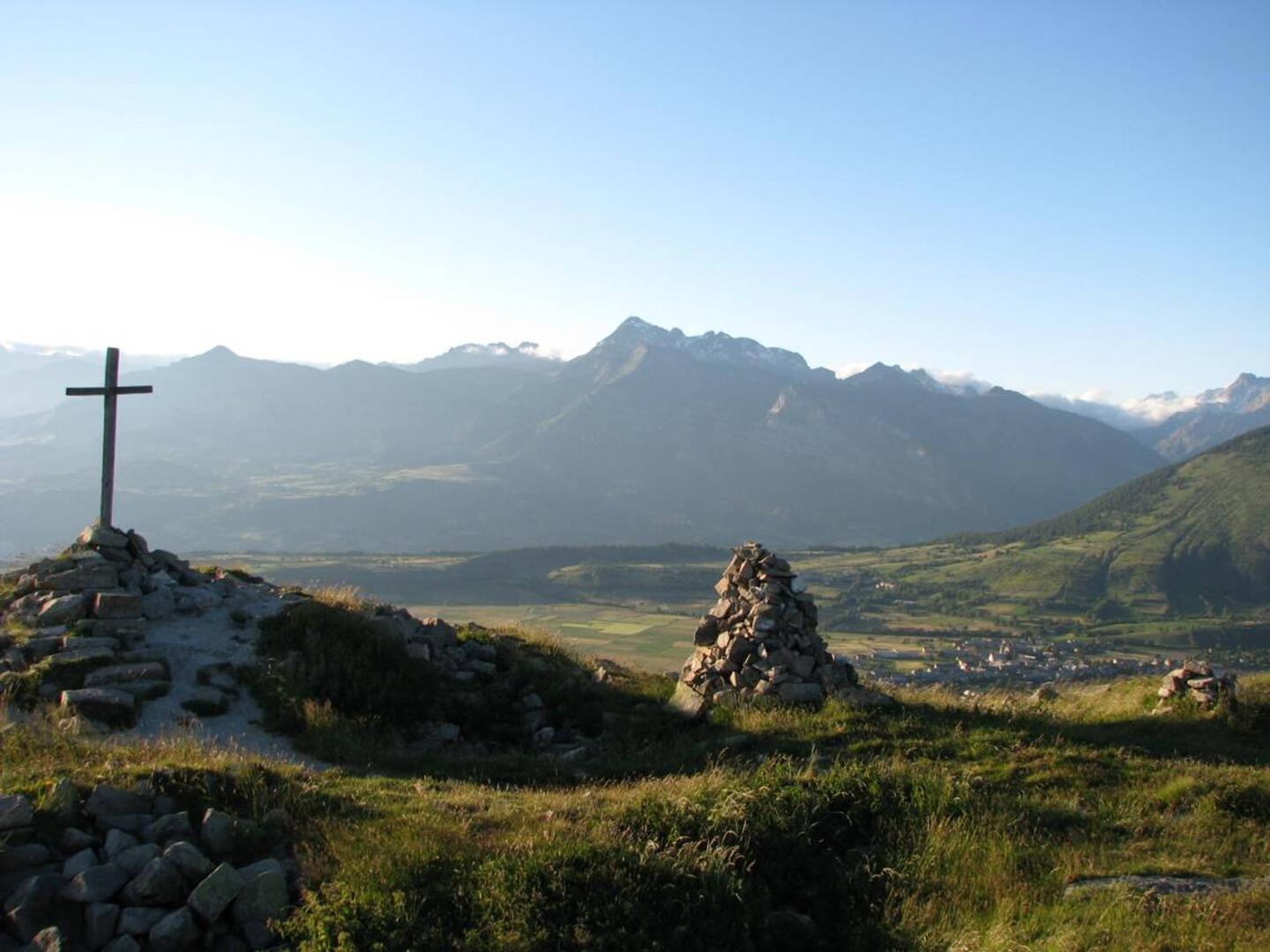
Croix Saint-Philippe
in Ancelle
7.2
km
Round-trip
Walking/pedestrian
2h
Medium
-
A family hike towards the exceptional panorama of La Croix St Philippe above Ancelle.
-
On the way, you will come across the ruins of a medieval village, as well as Lake Faudon, two sites that are rich in legends and mystery. The little bit extra? Sweet raspberries growing near the footpath - delicious!
- Departure
- Ancelle
-
-
Difference in height
- 344.137 m
-
-
-
Departure : Col de Moissière, Ancelle.
Road access : Ancelle, from the RN85, take the D414, D514. At the village of Ancelle, take the D213 towards Moissière..
Parking recommended : Col de Moissière, Ancelle .
- 344 meters of difference in height
-
- Maximum altitude : 1705 m
- Minimum altitude : 1557 m
- Total positive elevation : 344 m
- Total negative elevation : -274 m
- Max positive elevation : 118 m
- Min positive elevation : -145 m