
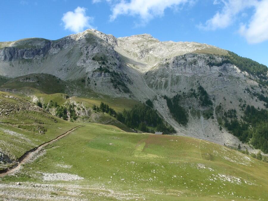
Col de Pourrachière
in Ancelle
8.8
km
Round-trip
Walking/pedestrian
4h 30min
Hard
- Departure
- Ancelle
-
-
Difference in height
- 542.903 m
-
-
-
Documentation
- GPX / KML files allow you to export the trail of your hike to your GPS (or other navigation tool)
-
- 543 meters of difference in height
-
- Maximum altitude : 2139 m
- Minimum altitude : 1624 m
- Total positive elevation : 543 m
- Total negative elevation : -543 m
- Max positive elevation : 349 m
- Min positive elevation : -463 m
On the spot
Useful address


