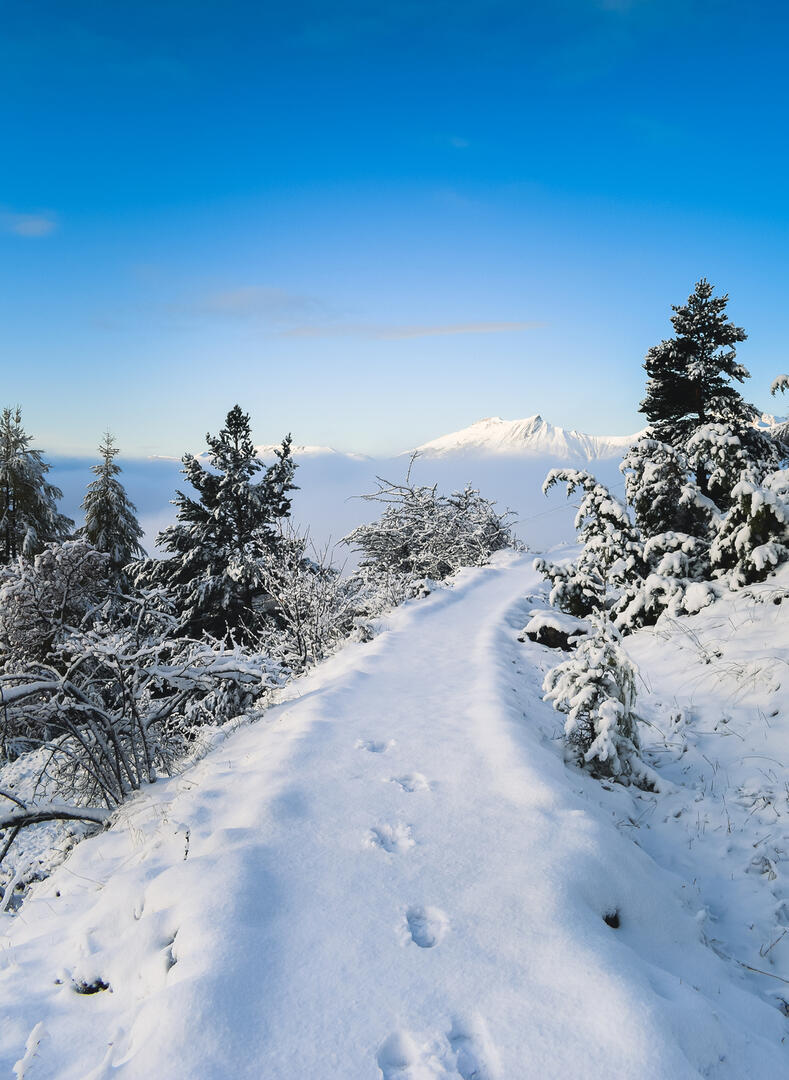
 
                            Canal de Malcros


                                                    in Saint-Michel-de-Chaillol
                            
            3.5
                        km
                    
                Round-trip
                Snowshoes
                1h 30min
                Very easy
                - Departure
- Saint-Michel-de-Chaillol
 
- 
    - 
                                Difference in height
- 120.862 m
 
- 
                                
- 
    - 
                                Spoken languages
 
- 
                                
- 
    - 
                                Documentation
- GPX / KML files allow you to export the trail of your hike to your GPS (or other navigation tool)
 
- 
                                
- 121 meters of difference in height
- 
                - Maximum altitude : 1646 m
- Minimum altitude : 1531 m
 - Total positive elevation : 121 m
- Total negative elevation : -121 m
- Max positive elevation : 78 m
- Min positive elevation : -31 m
 
 
                                